
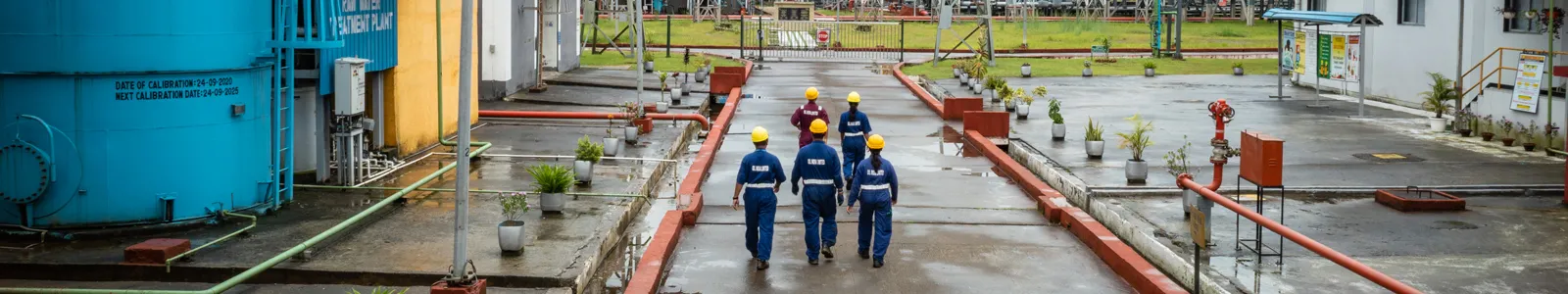
SEISMIC DATA ACQUISITION
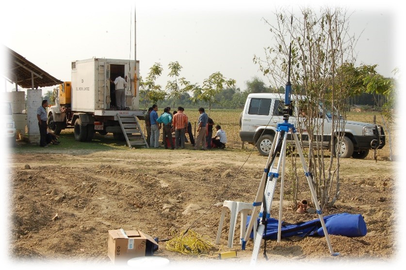
At Oil India Limited, we boast an array of cutting-edge seismic data acquisition capabilities, including 2D, 3D, and HD3D methodologies, facilitated by line-telemetry, node-based and hybrid seismic data acquisition systems. Our commitment to staying at the forefront of technological innovation underscores our endeavour to enhance subsurface imaging and reservoir characterization.
Flexibility is key to our seismic data acquisition operations, which is why we utilize fit-for-purpose technology to achieve geological objectives and overcome logistical challenge. Whether deploying traditional cabled systems for optimal signal transmission or harnessing the mobility and efficiency of cable-less solutions, we adapt our approach to suit the unique requirements of each project. This versatility ensures that we can efficiently tackle diverse geological settings and operational challenges while maintaining the highest standards of data quality and integrity.
Our proficiency in seismic data acquisition enables us to provide invaluable insights into subsurface geological structures. Leveraging state-of-the-art equipment and methodologies, we meticulously plan and execute surveys to delineate exploration targets with precision and accuracy. Our commitment to pushing the boundaries of seismic technology is exemplified by our HD3D seismic data acquisition capabilities. This high-definition approach achieves unparalleled resolution and fidelity in subsurface imaging. The enhanced clarity offered by HD3D seismic surveys empowers us to unravel complex geological structures and optimize reservoir development strategies.

SEISMIC DATA PROCESSING AND IMAGING
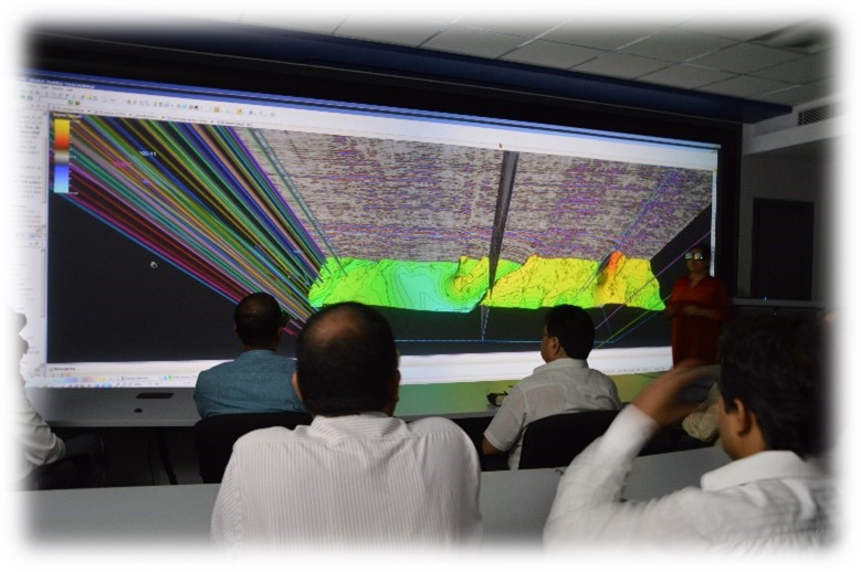
At Oil India Limited, our commitment to excellence extends beyond data acquisition to encompass advanced seismic data processing and imaging capabilities. Leveraging state-of-the-art technology and expertise, we transform raw seismic data into high-fidelity subsurface images, enabling precise reservoir characterization and exploration decision-making.
Our seismic data processing center, equipped with cutting-edge High-Performance Computing (HPC) infrastructure, specializes in both time and depth domain processing techniques.
Our expertise in seismic data processing enables us to tackle the challenges posed by complex geological settings with confidence and precision. By integrating innovative isotropic / anisotropy imaging techniques, we generate high-resolution images that unravel the intricacies of subsurface structures, empowering geoscientists to make informed decisions in resource exploration and development.
QUALITATIVE AND QUANTITATVE SEISMIC INTERPRETATION
The processed seismic data seamlessly integrates with other geoscientific datasets, facilitating comprehensive analysis and interpretation. Utilizing advanced visualization tools and techniques, we provide geoscientists and engineers with intuitive platforms to interactively explore and analyze subsurface data, fostering collaboration and driving innovation in exploration and production workflows.
Oil India Limited (OIL) possesses a formidable capacity in prospect evaluation, underpinned by a wealth of experience and a steadfast commitment to excellence. Our expert teams leverage deep geological insight, cutting-edge technology, and multidisciplinary collaboration to meticulously analyze geological data and identify prospective areas for exploration. Through advanced interpretation workflows and quantitative analysis techniques, we extract valuable reservoir properties to minimize exploration risk, optimize development strategies and maximize hydrocarbon recovery. By adopting advanced algorithms and analysis, sophisticated reservoir modeling techniques, and robust risk management strategies, we navigate uncertainties with precision, ensuring informed decision-making and resource allocation.
TECHNOLOGY INDUCTION
AIRBORNE GRAVITY GRADIOMETRY & GRAVITY-MAGNETIC (AGG & GM) STUDY
PASSIVE SEISMIC TOMOGRAPHY (PST) STUDY
HYBRID TELEMETRY SEISMIC RECORDING UNIT
INTEGRATED SEISMIC IMAGING & JOINT INVERSION


